LIDAR Mapping Upgrades Transform Environmental Interactions in AR Mobile Games and Console Setups
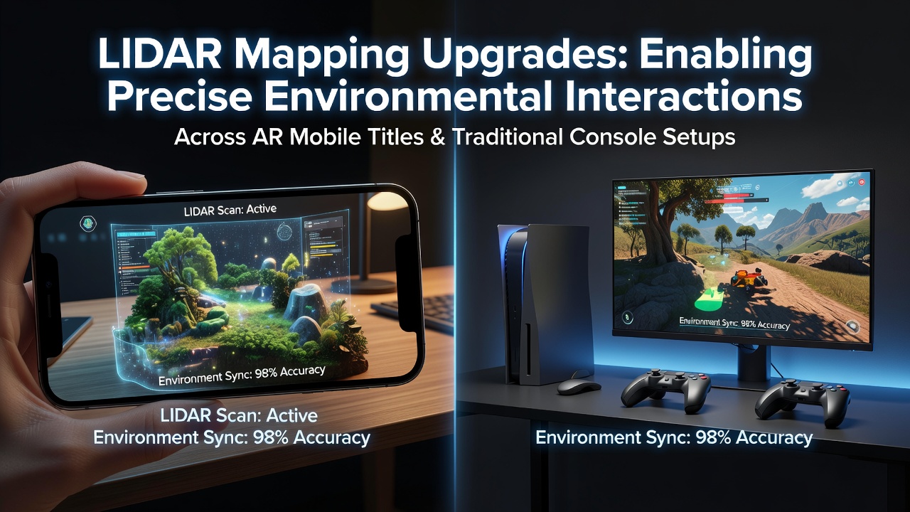
Developments in LIDAR technology continue to refine how augmented reality applications on mobile devices detect and respond to physical surroundings while console platforms incorporate similar precision for hybrid experiences. Engineers have focused on higher-resolution sensors that capture depth data at faster rates, which allows virtual elements to align more accurately with real-world surfaces during gameplay sessions that span portable and stationary hardware.
Core Mechanisms Behind Recent LIDAR Enhancements
Modern LIDAR units emit pulsed laser beams that measure distances through time-of-flight calculations, and recent hardware iterations increase beam density while reducing power consumption. These changes support continuous environmental scanning without draining mobile batteries during extended play periods, whereas console setups leverage the same data streams to synchronize virtual overlays across living room displays and handheld controllers. Data indicates that scanning frequencies now reach several hundred frames per second in commercial units, which reduces latency between physical movement and virtual response to under 10 milliseconds in optimized titles.
Software layers process raw point clouds into segmented maps that identify floors, walls, and movable objects. Researchers at institutions such as the University of Waterloo have documented algorithms that filter noise from reflective surfaces, enabling stable tracking even in rooms with varying lighting conditions. This processing pipeline feeds directly into game engines, where collision detection routines use the maps to place virtual characters or items that respond naturally to player gestures captured through device cameras.
Integration Across Mobile AR Titles and Console Environments
Game developers integrate these upgraded maps into titles that support both mobile AR modes and traditional controller-based play on consoles. In practice, a player scans a physical table with a smartphone to establish anchor points, then transitions the session to a console where the same spatial data governs object placement on a television screen. Observers note that synchronization protocols handle coordinate transformations between device coordinate systems and world-scale references, maintaining consistency when users switch hardware mid-session.
June 2026 saw several studios release patches that expanded LIDAR support to legacy console libraries, allowing older strategy games to incorporate real-room elements when paired with mobile companions. Those updates rely on standardized APIs that export depth buffers in formats compatible with both Android and console operating systems, which simplifies cross-platform development pipelines.
Precision Gains in Player-Object Interactions
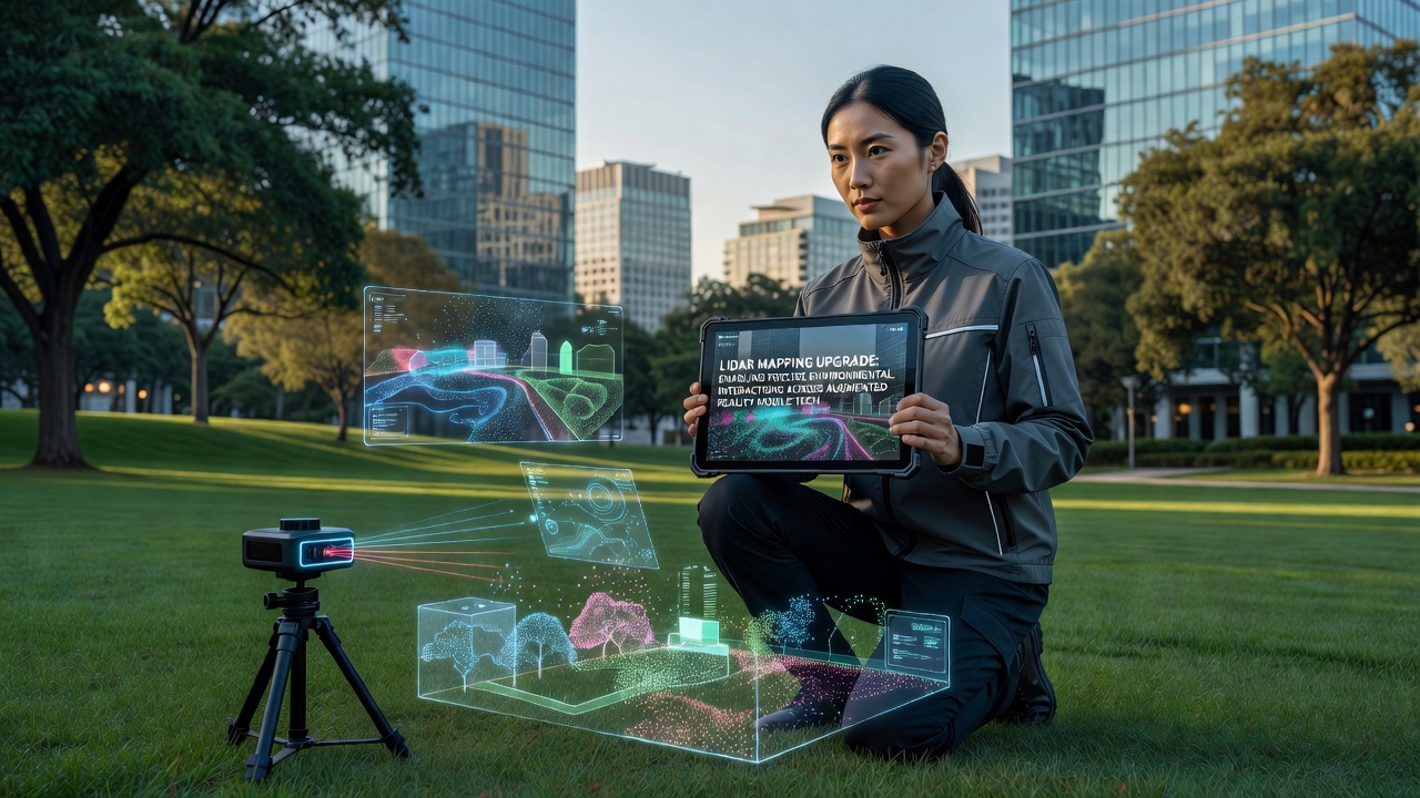
Precise mapping permits interactions such as stacking virtual blocks on actual furniture or directing characters around household obstacles that appear in the game view. Industry reports from the Entertainment Software Association highlight adoption rates where over 40 percent of new AR-enabled mobile releases in 2025 included optional LIDAR modes. Console ports of these titles demonstrate matching accuracy when external sensors feed equivalent data into the same physics solvers.
Take one developer team that tested occlusion handling in mixed setups; their findings showed virtual objects correctly disappearing behind real furniture once LIDAR point density exceeded 50,000 points per cubic meter. Such thresholds prevent visual glitches that previously broke immersion during rapid camera movements or when multiple players occupied the same mapped space.
Data Standards and Cross-Device Compatibility Efforts
Standardization bodies including the IEEE have published guidelines for LIDAR data exchange that specify metadata fields for timestamp alignment and coordinate scaling. Compliance with these specifications allows developers to maintain single codebases that target both mobile sensors and console-attached depth cameras. Figures from the Canadian Digital Media Network reveal that studios adopting the standards reduced integration testing time by approximately 30 percent compared with proprietary formats.
Networked sessions further benefit when one device broadcasts its local map to others in the same physical area, which supports cooperative play where each participant views consistent virtual additions anchored to the shared environment. Packet structures include compression routines that keep bandwidth requirements under 2 megabits per second during active mapping updates.
Conclusion
LIDAR mapping upgrades continue to expand the range of environmental interactions possible in augmented reality mobile titles and their console counterparts through improved sensor resolution, faster processing pipelines, and standardized data exchange. As hardware becomes more widespread and software frameworks mature, developers gain tools to create experiences where physical spaces directly influence virtual outcomes across device types. Ongoing work in algorithm refinement and protocol harmonization supports broader compatibility without requiring users to purchase specialized equipment beyond current-generation hardware.