LiDAR AR Overlays Sync Console Saves with Real-World Scans in Open-World Franchises
Written by Riley Wolf · Aug 8, 2026
LiDAR AR Overlays Sync Console Saves with Real-World Scans in Open-World Franchises
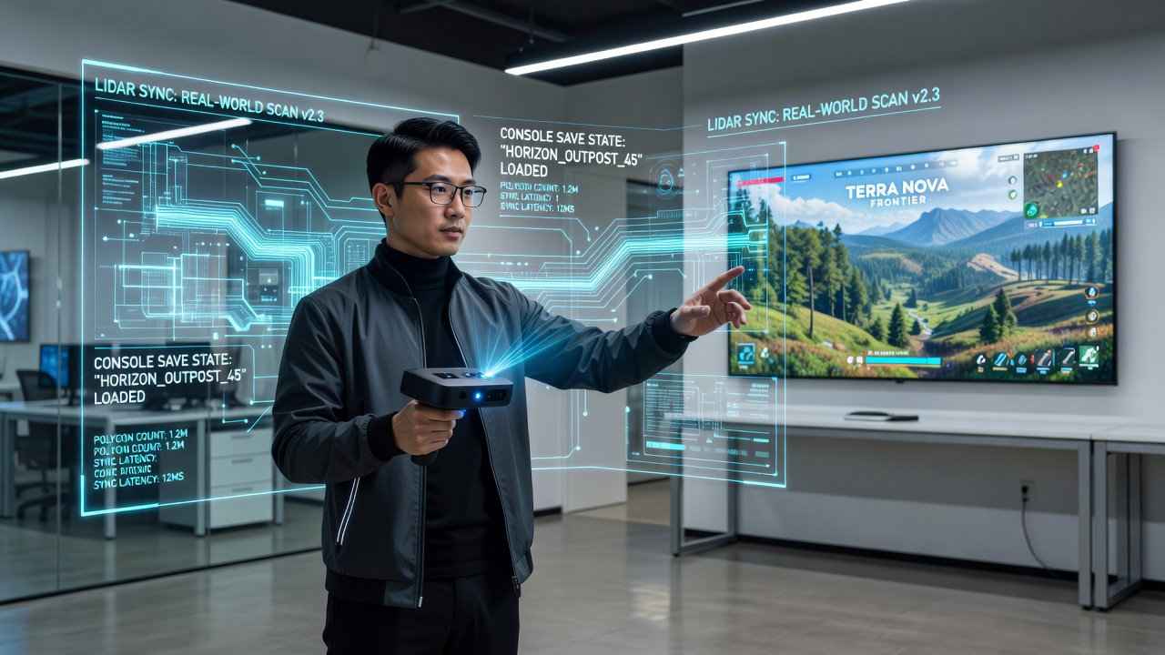
Developers have integrated LiDAR sensors into mobile devices and dedicated hardware to capture three-dimensional environmental data that then feeds into augmented reality systems, and these setups align scanned physical spaces with progression data pulled directly from console save files in open-world franchises such as those featuring expansive exploration mechanics and persistent player states. The process begins when a LiDAR-equipped device maps surrounding terrain at millimeter-level accuracy, after which software algorithms translate that geometry into a virtual framework where game assets load according to the exact save state retrieved from a connected console or cloud service.
Core Technical Integration
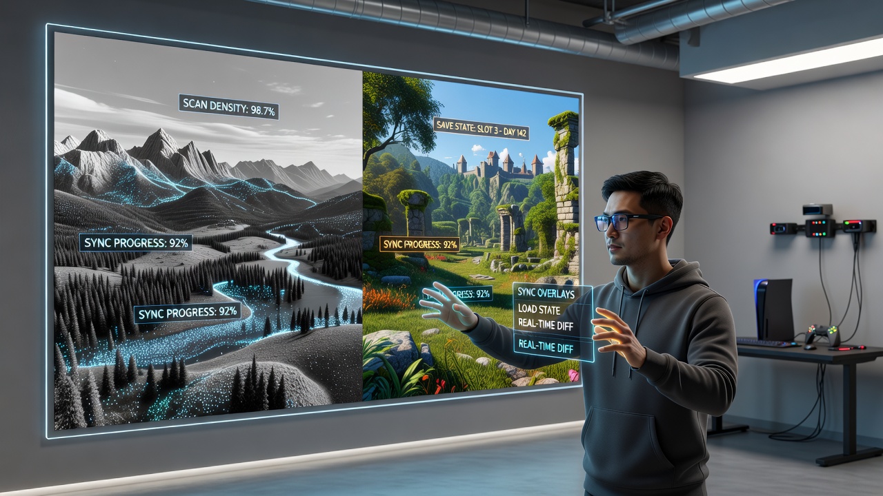
Console save states contain coordinates, inventory details, quest flags, and world-altering events that the AR layer imports through standardized synchronization protocols, so a player who cleared a mountain stronghold on their home console can encounter the same cleared zone rendered over a local park or urban plaza when the mobile device activates its LiDAR scan. Data flows between platforms via encrypted local networks or secure cloud endpoints, and this ensures that time-sensitive elements like weather conditions or NPC positions update in real time without requiring manual intervention. Observers note that frame rates remain stable because edge processing handles most LiDAR point-cloud calculations before the AR engine composites the final view.
Applications Across Major Franchises
Several long-running open-world series have tested these overlays in limited deployments by August 2026, allowing users to project mission markers onto actual city blocks or natural landscapes while the underlying save state dictates which routes remain accessible or which resources appear collected. One title incorporated vehicle spawning logic that only activates when the scanned area matches the footprint requirements stored in the console file, and another franchise tied collectible locations to real-world elevation data captured during the LiDAR pass. Researchers at academic institutions have documented how these mappings reduce disorientation for players transitioning between virtual and physical navigation tasks.
Hardware and Software Ecosystem
Modern handhelds and accessory modules now ship with higher-resolution LiDAR arrays that operate at 60 frames per second, and software development kits from multiple console manufacturers include dedicated APIs for save-state ingestion. These tools let third-party studios map their own world data structures onto the scanned geometry without exposing proprietary console formats. Industry reports indicate that latency between scan completion and overlay rendering averages under 40 milliseconds when both devices share the same local network, and developers continue refining compression methods for point-cloud data to support larger environments.
Cross-platform libraries benefit because a single save file can drive experiences on stationary consoles and portable AR viewers alike, whereas earlier synchronization methods often required separate progress branches. Data from the IEEE standards body shows increased adoption of unified save schemas that accommodate both traditional and spatial inputs. European research groups have examined similar protocols under different regulatory frameworks, and their findings align with North American testing on throughput consistency.
Challenges in Scaling and Accuracy
Environmental variables such as moving foliage or reflective surfaces can introduce noise into LiDAR readings, yet calibration routines built into the AR software compensate by cross-referencing multiple scan passes taken seconds apart. Console save states occasionally reference assets that exceed the physical space available during a scan, and the system responds by scaling or cropping those elements while preserving gameplay integrity. Security measures encrypt save data during transit, and device-level authentication prevents unauthorized access to player progress across sessions.
Future Developments Observed in 2026
By August 2026 several open-world franchises had expanded their public testing programs to include multi-user sessions where participants scan adjacent areas and merge their LiDAR maps into a shared AR space governed by one master save state. Hardware iterations focused on reducing power draw during extended scans, and software updates introduced predictive loading that anticipates player movement based on console telemetry. Trade organizations such as the International Game Developers Association have tracked these advancements through member surveys that record deployment timelines and technical hurdles.
Conclusion
LiDAR-driven AR overlays continue to expand the ways console progress integrates with physical environments in open-world franchises, and the synchronization of real-world scans with save states represents a measurable step in multi-platform continuity. Ongoing refinements in sensor precision and data protocols support broader implementation across additional titles while maintaining consistency between virtual achievements and their spatial representations.